Eight miles of rust-colored brick running through scrub forest and pine flatwoods in Flagler County - this is what the entire American road-building movement looked like before asphalt swallowed it. The Old Brick Road is the longest surviving intact section of the original Dixie Highway anywhere in the United States. No one paved over it. No one widened it. It still wears its original vitrified bricks, still holds the curbstones set by 1914 road crews. On the Heritage Crossroads corridor, which traces layered history through Flagler, St. Johns, and Volusia counties, nothing else comes close to this.
What the Old Brick Road Is and Why It Matters
The road spans approximately 8.3 miles from the small community of Espanola at its southern end - accessible via US-13 - north through the flatwoods, crossing into St. Johns County and ending near County Road 204 at what remains of a former settlement called Spuds. For the full length, you are driving on the same surface that early automobiles used more than a century ago.
Florida has other Dixie Highway fragments. Georgia has some. But this stretch through Flagler County was never touched by an asphalt crew. The reasons are circumstantial - sparse population, no development pressure until recently, land ownership patterns that kept heavy construction away. The result is a road that functions as both a living artifact and a working track still used today, primarily by logging trucks. That dual identity is now the source of its most serious threat.
On April 20, 2005, the road was listed on the National Register of Historic Places under the designation "Dixie Highway - Hastings, Espanola, and Bunnell Road." That recognition came more than a decade before local preservation efforts intensified. Today, with Palm Coast expanding westward and logging activity ongoing, the listing has taken on new urgency.
Carl Fisher's Dream: The Brickyard Connection
The road exists because of one man's conviction that paved roads would transform American life. Carl G. Fisher founded the Indianapolis Motor Speedway, the track famously nicknamed "the Brickyard" because its racing surface was originally paved with millions of bricks. Fisher knew from direct, high-speed experience what a smooth brick surface could do - it allowed for reliability and sustained use that dirt could never match.
What Fisher proved at Indianapolis, he wanted to replicate across the country. In 1914, he organized the Dixie Highway Association, pulling together governors, business leaders, and local governments from ten states. His vision was a connected network of more than 5,000 miles of paved road running from Chicago south all the way to Miami. The route would pass through the interior of Florida - through places like Espanola and Bunnell that otherwise had no reliable connection to the outside world.
The Brickyard-to-Flagler-County connection is more than trivia. Fisher's familiarity with brick as a road surface, proven under racing conditions, directly informed the material choice for the Dixie Highway project. Vitrified brick - fired at extreme temperatures until it becomes dense and impervious to water - was the obvious choice for a road meant to last. The Indianapolis Speedway gave Fisher both the template and the credibility. The Dixie Highway Association gave him the political infrastructure to act on it across an entire continent.
Building the Road: Bonds, Vitrified Bricks, and Convict Labor
Flagler County financed its stretch through a county bond issue - one of the largest financial commitments the sparsely populated county had made to that point. Construction began in 1914. The primary paving contractor was the Wilson Company; the McCrary Company handled the Espanola segment separately.
The bricks came from two sources. The Graves Brick Company of Birmingham, Alabama supplied the majority. Some additional bricks came from the Southern Clay Manufacturing Company of Tennessee. Both manufactured vitrified bricks - a firing process that produces a finished product with low water absorption and high resistance to the repeated stress of vehicle traffic over decades.
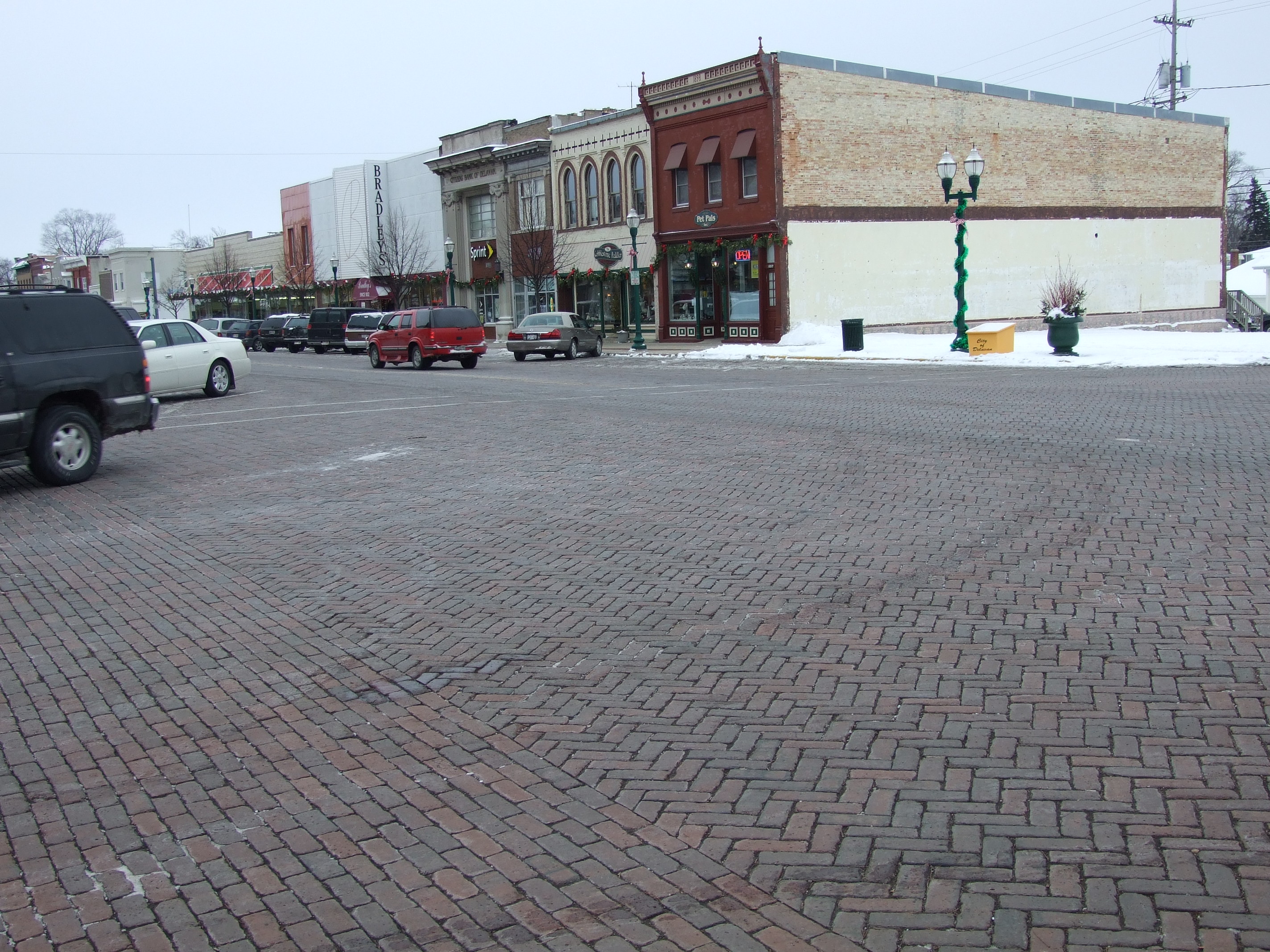
The construction figures are staggering even by modern standards. Building one mile of this road required 237,600 bricks. Think about that: a quarter million individual fired-clay units per mile, each placed by hand. The finished surface was nine feet wide with a curbstone running along each side to define the edge and control erosion. Nine feet is narrow - barely wide enough for one lane of traffic - but it was a significant step forward from the rutted sand tracks that preceded it.
When Flagler County was formally incorporated in 1917, the new County Commission made completing the remaining sections one of its first official acts. The labor came from county convict crews, a common practice in Florida road construction of that era used to hold costs down on projects that might otherwise be unaffordable for a county with a thin tax base. The history embedded in these bricks is not simple or comfortable. It includes the coerced labor of people who had no choice in the matter, building a road that others would profit from.
Rise and Fall: From Main Street to Ghost Highway
Through the early 1920s, this road was a primary interior route. Travelers heading from the upper South toward Miami had few alternatives. The Dixie Highway gave them a paved surface where none had existed, and small communities along the route - Espanola, Bunnell, Hastings - saw traffic and commerce they would not otherwise have had.
The end came quickly. US-1 was completed along Florida's Atlantic coast in 1926, offering a faster, more direct path between the same endpoints. The coastal route pulled traffic away from the inland Dixie Highway almost immediately. With its primary purpose gone, the Dixie Highway Association disbanded in 1927 - just thirteen years after Fisher launched it.
The Flagler County brick road was left where it was. Without maintenance or significant traffic, the surrounding scrub and flatwoods closed in. The communities along the route contracted. Espanola today is a ghost of what it was - a scatter of structures and a name on a map rather than a functioning town. The road survived precisely because nobody invested money in changing it. Obscurity became its best protection.
The 2026 Preservation Battle
That obscurity is now running out. The primary threat is not residential development directly - it is logging. Heavy trucks working the surrounding timberlands use the brick road as an access route because it is there and it is accessible. The 111-year-old bricks were not engineered for that weight, and the damage accumulates in ways that are difficult to reverse.
Flagler County has responded in one counterintuitive way: burying sections of the brick road under topsoil to protect the bricks from further truck damage. This means some visitors will drive stretches where no brick is visible at all - it is underneath them, covered deliberately. The bricks are still there; they are temporarily hidden to shield them from destruction.
In April 2026, Flagler County commissioners voted to support protected buffers on each side of the road. The commission also discussed formally designating the entire stretch as a linear park - a move that would give the road legal standing against both logging truck traffic and the westward expansion of Palm Coast, which is pushing development into land that has historically been agricultural and forested.
A July 2026 guided tour led by Flagler County historian Preston Zepp drew significant public and media attention. Zepp's message was direct: the long-term survival of this road is not guaranteed. The National Register listing provides recognition, not protection. The commission discussions are ongoing, not concluded. What happens in the next several years will determine whether this road remains what it is or becomes a cautionary story about what was lost while people debated.
How to Drive It: A Practical Visitor Guide
The Two Access Points
The road has two entry points. The southern end is at Espanola, reached via US-13. Look for where the brick surface begins and pull off the highway shoulder - there is no official parking lot, no entrance sign, and no ranger station. You arrive and drive. The northern end is near County Road 204 at the former settlement of Spuds, where the road crosses into St. Johns County. If you prefer driving south-to-north, start there. Most visitors approaching from the Heritage Crossroads corridor will find the southern Espanola access the logical entry given the direction of travel.
Vehicle and Conditions Checklist
- Bring a four-wheel-drive vehicle or high-clearance SUV - not because of the brick itself, but because of the sand and mud conditions that surround and fill gaps between sections.
- After heavy rain, holes in the road can reach two feet deep in mud. This is not exaggeration - vehicles have been stranded here. Check recent rainfall before you go.
- The road is nine feet wide. When you meet a vehicle coming the other direction, one of you must pull completely off the bricks. Move deliberately; there is enough shoulder to manage it safely if you don't hesitate.
- Conditions vary across the full length: packed sand in some sections, loose sand in others, fully exposed brick in others, and buried sections that feel like an ordinary dirt track.
- There is no fee, no staffed facility, and no restroom. Bring water. Cell coverage is limited. Tell someone where you are going before you drive in.
The Bunnell Section and Forgotten Lane
One detail that most guides omit: the section near Bunnell is fenced off and inaccessible from that approach. Visitors who arrive expecting to enter from the Bunnell side will find the road blocked. The workaround is Forgotten Lane, a connecting access point that bypasses the fenced portion and routes you to the drivable brick surface. This is not obvious from mapping apps, which treat the road as continuous. Confirm current access conditions locally before your visit - the county's ongoing preservation work occasionally changes what is open and when.
What You'll See, Hear, and Feel
Driving on 111-year-old brick is physically distinct from anything else on Florida roads. At low speed, you hear a low, rhythmic thrum as each tire crosses the slightly raised joint between bricks - a sound somewhere between cobblestone and a washboard dirt road, but with a lower pitch. The vibration is steady rather than jarring. Your hands on the wheel feel the texture translating up through the chassis. It is immediately clear you are on something old and deliberate, not a gravel track or a path.
The brick itself runs from rust-red to deep brown depending on the light and how much sand has been ground into the surface over the decades. In morning light, exposed sections glow with color. In late afternoon shade under the pine canopy, the road darkens to something closer to amber. In the sections buried under topsoil, you lose the color and the sound both - which makes the re-emergence of brick on the other side of a buried stretch feel like surfacing.
The surroundings are dense Florida scrub and pine flatwoods - slash pine and longleaf pine overhead, palmetto and wiregrass at the margins. Wildlife in this corridor includes gopher tortoises, sandhill cranes, white-tailed deer, and wading birds near standing water. The road passes through stretches with no visible structures for long distances, which creates an unusual sense of isolation for a place this close to a growing city.
Espanola at the southern end is worth a slow pass before or after your drive. Historical markers near the access points describe the road's original context. Read them before you drive in; the information lands differently when you are standing at the edge of what you are about to experience rather than reading it on your phone at home afterward.
Pairing the Brick Road with the Rest of the Corridor
The Old Brick Road works best as part of a full day on the Heritage Crossroads corridor. Three nearby sites pair well with it without requiring significant backtracking.
- Bulow Plantation Ruins State Historic Site - On Old Kings Road near Flagler Beach, these are the tabby-shell ruins of a sugar and cotton plantation destroyed during the Second Seminole War in 1836. Florida State Parks manages the site and maintains short walking trails through the ruins. It addresses a different layer of the same pre-industrial Florida that the brick road era followed by less than a century.
- Princess Place Preserve - A Flagler County-managed preserve with one of the oldest standing structures in the county, a tidal creek, and a network of trails. The preserve's history as a private hunting retreat for European aristocracy is an odd Florida story. Check Flagler County's website for current access and trail conditions before visiting.
- Florida Agriculture Museum - Located in Palm Coast, this museum covers the working history of Florida farming from the pioneer era forward. Given that communities like Espanola and Hastings along the Dixie Highway route existed largely to serve agricultural economies, the museum provides direct context for why the road was built where it was and who it was built to serve.
A practical sequence for the day: start at the Agriculture Museum to establish the economic context, drive the brick road mid-morning before heat peaks, and end at Bulow Plantation Ruins in the afternoon when the live oaks shade the ruin paths.
Go Now: Why This Road May Not Look the Same in Five Years
The April 2026 commission vote and July 2026 public tour are encouraging signs, but buffer designations and linear park proposals require sustained follow-through over years - and Palm Coast's westward growth is a measurable market force that preservation advocates cannot vote away on their own.
Visitors who want to support preservation have real options. Flagler County's planning office tracks public comment on the linear park proposal - contacting commissioners directly when votes come up carries more weight than signing generic online petitions. The Flagler County Historical Society maintains documentation and advocacy around the road; following their work keeps you connected to developments as they happen. And a visit itself generates the kind of visibility - foot traffic, conversations, media coverage - that gives preservation advocates leverage when they argue the road has a living constituency, not just a historical one.
Drive it now. Drive it while the bricks are exposed and you can hear them. Drive it while it still feels like what it is - the road that Carl Fisher conceived when paved roads were a radical idea, built by crews who had no say in the matter, through a county that staked its early identity on completing it, and somehow left intact when everything around it changed. There is nowhere else in the country where you can still do this.
Frequently Asked Questions
Is the Old Brick Road open year-round, or are there closures?
The road is publicly accessible year-round with no gate or seasonal closure. Conditions change dramatically with rainfall, however - after significant storms, sections can become impassable mud even for high-clearance vehicles. Check recent local weather before you go, and contact Flagler County for current conditions if recent rain has been heavy or prolonged.
Can a regular passenger car handle the full 8.3 miles?
In dry conditions, low-clearance vehicles can manage portions of the road, but attempting the full length without four-wheel drive or high clearance is not advisable. The combination of loose sand, uneven brick, and post-rain holes has stranded vehicles here. If you do not have an appropriate vehicle, drive what you can from one access point and turn around before conditions change.
Why does some of the road feel like a dirt track instead of brick?
Certain sections have been deliberately buried under topsoil to protect the original bricks from logging truck damage - the bricks are intact underneath. The preservation section above covers the full context of this ongoing county effort.
What is the Forgotten Lane access, and why does it matter?
The section of the brick road near Bunnell is fenced off and inaccessible from that direction. Forgotten Lane is a nearby access route that lets visitors bypass the blocked Bunnell section and reach the drivable brick surface. Most online maps do not reflect this - they show the road as a continuous line, which leads visitors to the fenced portion without any indication of an alternative. Confirm current access details with Flagler County before your visit, since preservation work can shift what is open.
Is the 2005 National Register listing enough to protect the road from development?
No. The National Register of Historic Places designation is a recognition of significance, not a legal protection. It does not prevent owners or local governments from altering or removing a listed property, though it does trigger review processes for federally funded projects. The more protective measures being discussed - the linear park designation and setback buffers voted on in April 2026 - would carry actual legal weight. Those are still in process as of mid-2026.
How long should I budget for the full drive and a stop at Espanola?
Budget at least ninety minutes to two hours for the drive itself if you plan to cover the full length, stop to walk sections, and take in the historical markers at Espanola. The narrow width means you will move slowly and stop periodically to let other vehicles pass. Add travel time from either access point, since both ends are on rural roads with no nearby services - fill your tank and bring water before you arrive.